
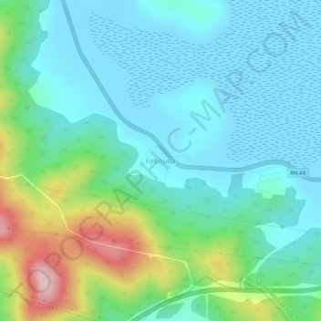
Kebbouda topographic map
Interactive map
Click on the map to display elevation.
About this map
Name: Kebbouda topographic map, elevation, terrain.
Location: Kebbouda, Ben M'Hidi, Daïra Ben M'Hidi, El Tarf, Algérie (36.71439 7.98096 36.75439 8.02096)
Average elevation: 240 ft
Minimum elevation: -13 ft
Maximum elevation: 1,047 ft