
李士固西村 topographic map
Interactive map
Click on the map to display elevation.
About this map
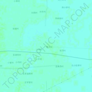
Name: 李士固西村 topographic map, elevation, terrain.
Location: 李士固西村, 宁津县, 德州市, 山东省, 253400, 中国 (37.63707 116.93525 37.67707 116.97525)
Average elevation: 49 ft
Minimum elevation: 39 ft
Maximum elevation: 56 ft
Other topographic maps
Click on a map to view its topography, its elevation and its terrain.