
五大连池市 topographic map
Interactive map
Click on the map to display elevation.
About this map
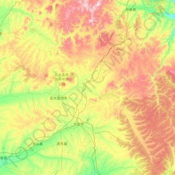
Name: 五大连池市 topographic map, elevation, terrain.
Location: 五大连池市, 黑河市, Heilongjiang, China (48.26019 125.70201 49.20034 127.53838)
Average elevation: 1,145 ft
Minimum elevation: 741 ft
Maximum elevation: 2,392 ft
Other topographic maps
Click on a map to view its topography, its elevation and its terrain.