
Wedel topographic map
Interactive map
Click on the map to display elevation.
About this map
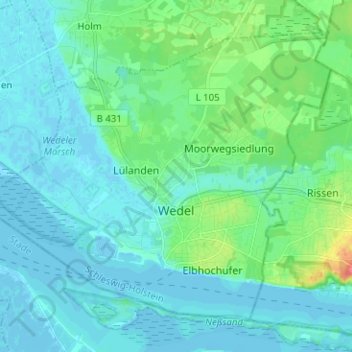
Name: Wedel topographic map, elevation, terrain.
Location: Wedel, Kreis Pinneberg, Schleswig-Holstein, 22880, Deutschland (53.55759 9.63334 53.61875 9.75922)
Average elevation: 33 ft
Minimum elevation: -13 ft
Maximum elevation: 177 ft