
上高县工业园区 topographic map
Interactive map
Click on the map to display elevation.
About this map
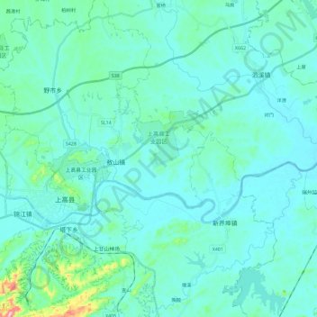
Name: 上高县工业园区 topographic map, elevation, terrain.
Location: 上高县工业园区, 上高县, 宜春市, 江西省, 中国 (28.23499 114.81456 28.29610 115.04258)
Average elevation: 217 ft
Minimum elevation: 112 ft
Maximum elevation: 1,063 ft
Other topographic maps
Click on a map to view its topography, its elevation and its terrain.