
东岭后村 topographic map
Interactive map
Click on the map to display elevation.
About this map
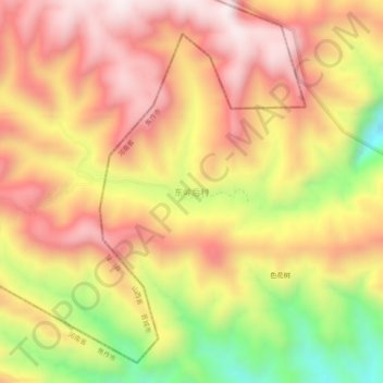
Name: 东岭后村 topographic map, elevation, terrain.
Location: 东岭后村, 修武县, 焦作市, 河南省, 中国 (35.42422 113.28299 35.46422 113.32299)
Average elevation: 3,248 ft
Minimum elevation: 1,873 ft
Maximum elevation: 4,183 ft
Other topographic maps
Click on a map to view its topography, its elevation and its terrain.