
Bourneville topographic map
Interactive map
Click on the map to display elevation.
About this map
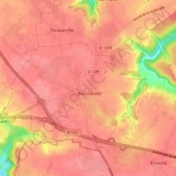
Name: Bourneville topographic map, elevation, terrain.
Average elevation: 397 ft
Minimum elevation: 200 ft
Maximum elevation: 453 ft
Other topographic maps
Click on a map to view its topography, its elevation and its terrain.
Sainte-Croix-sur-Aizier
France > Normandie > Eure > Bourneville-Sainte-Croix
Sainte-Croix-sur-Aizier, Bourneville-Sainte-Croix, Bernay, Eure, Normandie, France métropolitaine, 27500, France
Average elevation: 344 ft
Bourneville-Sainte-Croix
France > Normandie > Eure > Bourneville-Sainte-Croix
Bourneville-Sainte-Croix, Bernay, Eure, Normandie, France métropolitaine, 27500, France
Average elevation: 381 ft