
KATAMBALANG topographic map
Interactive map
Click on the map to display elevation.
About this map
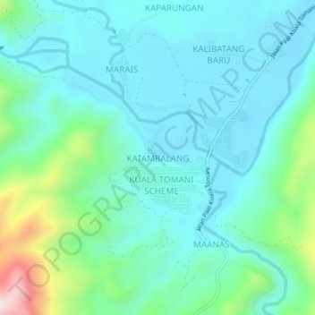
Name: KATAMBALANG topographic map, elevation, terrain.
Location: KATAMBALANG, Tenom, Interior Division, Sabah, Malaysia (4.82897 115.86202 4.86897 115.90202)
Average elevation: 994 ft
Minimum elevation: 669 ft
Maximum elevation: 2,316 ft