
De Pinte topographic map
Interactive map
Click on the map to display elevation.
About this map
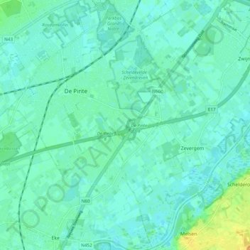
Name: De Pinte topographic map, elevation, terrain.
Location: De Pinte, Gent, East Flanders, Flanders, 9840, Belgium (50.95409 3.62363 51.01435 3.71110)
Average elevation: 26 ft
Minimum elevation: 7 ft
Maximum elevation: 82 ft