
Rundu topographic map
Interactive map
Click on the map to display elevation.
About this map
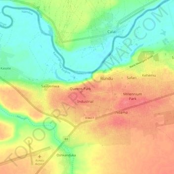
Name: Rundu topographic map, elevation, terrain.
Location: Rundu, Kavango East, Namibia (-17.93313 19.72887 -17.89652 19.80729)
Average elevation: 3,579 ft
Minimum elevation: 3,474 ft
Maximum elevation: 3,678 ft