
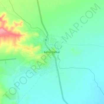
Kebri Dehar topographic map
Interactive map
Click on the map to display elevation.
About this map
Name: Kebri Dehar topographic map, elevation, terrain.
Location: Kebri Dehar, Unknown, Somali, Etiopía (6.69895 44.24041 6.77895 44.32041)
Average elevation: 1,709 ft
Minimum elevation: 1,634 ft
Maximum elevation: 1,959 ft