
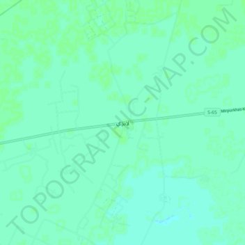
Landhi topographic map
Interactive map
Click on the map to display elevation.
About this map
Name: Landhi topographic map, elevation, terrain.
Location: Landhi, Hyderābād District, Sindh, Pakistan (25.27277 69.11198 25.35277 69.19198)
Average elevation: 43 ft
Minimum elevation: 33 ft
Maximum elevation: 52 ft