
Shahrud topographic map
Interactive map
Click on the map to display elevation.
About this map
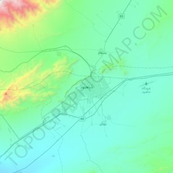
Name: Shahrud topographic map, elevation, terrain.
Location: Shahrud, بخش مرکزی, Shahrud County, Semnan Province, Iran (36.25950 54.80499 36.57950 55.12499)
Average elevation: 4,954 ft
Minimum elevation: 3,694 ft
Maximum elevation: 12,641 ft