
Rémersdael topographic map
Interactive map
Click on the map to display elevation.
About this map
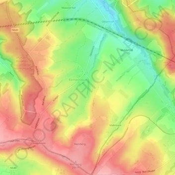
Name: Rémersdael topographic map, elevation, terrain.
Location: Rémersdael, Fourons, Limbourg, Flandre, 3791, Belgique (50.70992 5.85653 50.74693 5.91122)
Average elevation: 768 ft
Minimum elevation: 535 ft
Maximum elevation: 951 ft