
Vargas topographic map
Interactive map
Click on the map to display elevation.
About this map
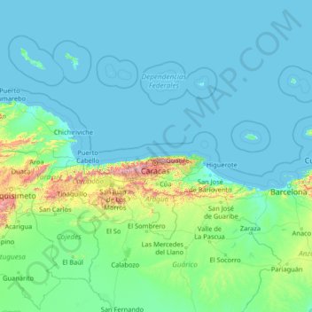
Name: Vargas topographic map, elevation, terrain.
Location: Vargas, Venezuela (8.05054 -69.45824 13.17054 -64.33824)
Average elevation: 381 ft
Minimum elevation: -3 ft
Maximum elevation: 8,497 ft
Other topographic maps
Click on a map to view its topography, its elevation and its terrain.