
Sint Philipsland topographic map
Interactive map
Click on the map to display elevation.
About this map
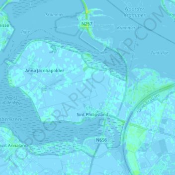
Name: Sint Philipsland topographic map, elevation, terrain.
Location: Sint Philipsland, Tholen, Zeeland, Nederland (51.60618 4.09774 51.65360 4.23434)
Average elevation: 0 ft
Minimum elevation: -13 ft
Maximum elevation: 43 ft