
Farciennes topographic map
Interactive map
Click on the map to display elevation.
About this map
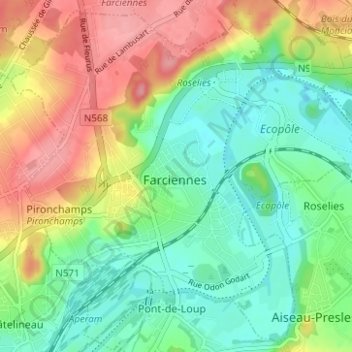
Name: Farciennes topographic map, elevation, terrain.
Location: Farciennes, Hainaut, Wallonie, 6240, Belgique (50.41350 4.51741 50.45097 4.57972)
Average elevation: 420 ft
Minimum elevation: 285 ft
Maximum elevation: 620 ft