
Sierra del Carche topographic map
Interactive map
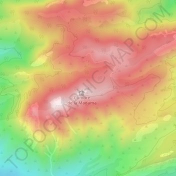
Click on the map to display elevation.
About this map
Name: Sierra del Carche topographic map, elevation, terrain.
Average elevation: 3,632 ft
Minimum elevation: 2,520 ft
Maximum elevation: 4,462 ft
Other topographic maps
Click on a map to view its topography, its elevation and its terrain.
El Carche
España > Región de Murcia > Jumilla > El Carche
El Carche, Jumilla, Altiplano, Región de Murcia, España
Average elevation: 1,982 ft