
Desnié topographic map
Interactive map
Click on the map to display elevation.
About this map
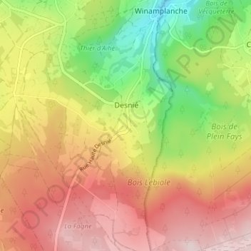
Name: Desnié topographic map, elevation, terrain.
Location: Desnié, Theux, Verviers, Liège, Wallonie, 4910, Belgique (50.43890 5.79066 50.47890 5.83066)
Average elevation: 1,365 ft
Minimum elevation: 814 ft
Maximum elevation: 1,847 ft