
Montalvão topographic map
Interactive map
Click on the map to display elevation.
About this map
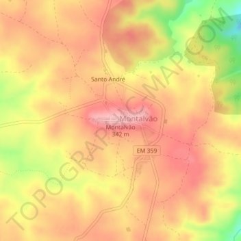
Name: Montalvão topographic map, elevation, terrain.
Location: Montalvão, Nisa, Portalegre, Alto Alentejo, Alentejo, Portugal (39.59532 -7.52989 39.59542 -7.52979)
Average elevation: 958 ft
Minimum elevation: 656 ft
Maximum elevation: 1,112 ft
Other topographic maps
Click on a map to view its topography, its elevation and its terrain.