
La Yeguada topographic map
Interactive map
Click on the map to display elevation.
About this map
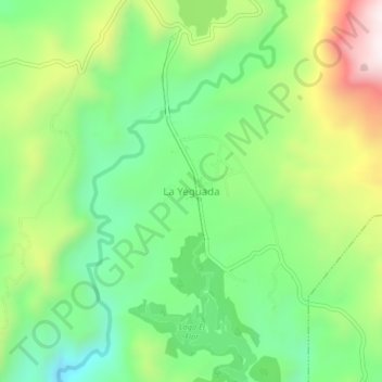
Name: La Yeguada topographic map, elevation, terrain.
Location: La Yeguada, El Satro, Distrito Calobre, Veraguas, Panamá (8.41084 -80.87719 8.45084 -80.83719)
Average elevation: 2,024 ft
Minimum elevation: 1,194 ft
Maximum elevation: 3,422 ft