
Picher topographic map
Interactive map
Click on the map to display elevation.
About this map
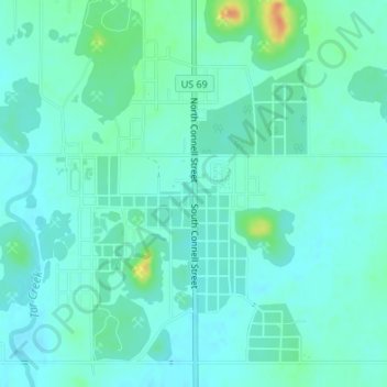
Name: Picher topographic map, elevation, terrain.
Location: Picher, Ottawa County, Oklahoma, 74360, United States (36.94680 -94.87070 37.02680 -94.79070)
Average elevation: 837 ft
Minimum elevation: 784 ft
Maximum elevation: 974 ft