
Brig o' Turk topographic map
Interactive map
Click on the map to display elevation.
About this map
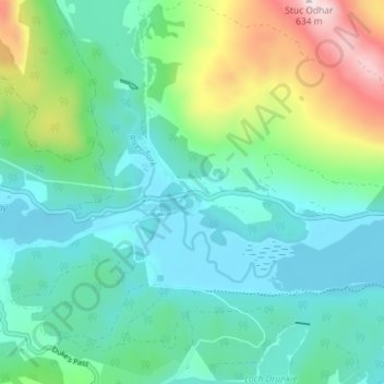
Name: Brig o' Turk topographic map, elevation, terrain.
Location: Brig o' Turk, Stirling, Scotland, FK17 8HS, United Kingdom (56.20967 -4.38247 56.24967 -4.34247)
Average elevation: 696 ft
Minimum elevation: 256 ft
Maximum elevation: 2,070 ft