
Olmen topographic map
Interactive map
Click on the map to display elevation.
About this map
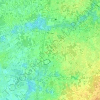
Name: Olmen topographic map, elevation, terrain.
Location: Olmen, Balen, Anvers, Flandre, 2491, Belgique (51.11614 5.12102 51.15068 5.20591)
Average elevation: 102 ft
Minimum elevation: 62 ft
Maximum elevation: 148 ft