
La Tala topographic map
Interactive map
Click on the map to display elevation.
About this map
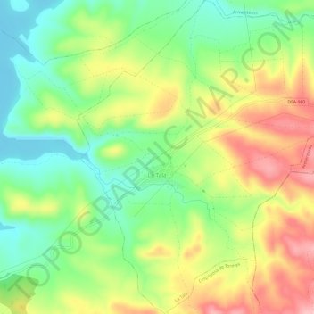
Name: La Tala topographic map, elevation, terrain.
Location: La Tala, Salamanca, Castilië en León, 37752, Spanje (40.56961 -5.55118 40.61538 -5.50149)
Average elevation: 3,104 ft
Minimum elevation: 2,877 ft
Maximum elevation: 3,399 ft