
Eğribucak topographic map
Interactive map
Click on the map to display elevation.
About this map
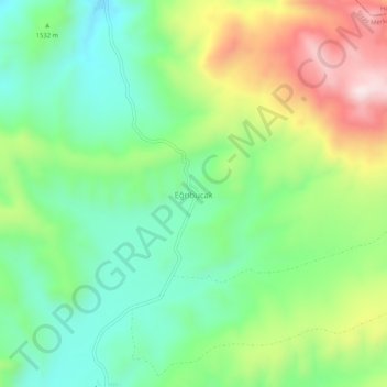
Name: Eğribucak topographic map, elevation, terrain.
Location: Eğribucak, Sivas merkez, Sivas, İç Anadolu Bölgesi, Turquie (39.71025 37.25774 39.75025 37.29774)
Average elevation: 5,072 ft
Minimum elevation: 4,475 ft
Maximum elevation: 6,129 ft