
Cabuérniga topographic map
Interactive map
Click on the map to display elevation.
About this map
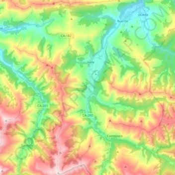
Name: Cabuérniga topographic map, elevation, terrain.
Location: Cabuérniga, Saja-Nansa, Cantabria, Cantábria, Espanha (43.13853 -4.38168 43.27447 -4.19335)
Average elevation: 1,857 ft
Minimum elevation: 522 ft
Maximum elevation: 3,858 ft