
Arroba de los Montes topographic map
Interactive map
Click on the map to display elevation.
About this map
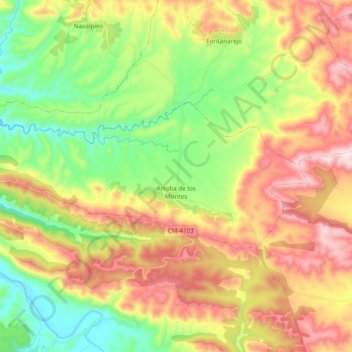
Name: Arroba de los Montes topographic map, elevation, terrain.
Average elevation: 2,211 ft
Minimum elevation: 1,470 ft
Maximum elevation: 3,156 ft
Other topographic maps
Click on a map to view its topography, its elevation and its terrain.
El Alcornocal
España > Castilla-La Mancha > Montes > Piedrabuena
El Alcornocal, Piedrabuena, Montes, Ciudad Real, Castilla-La Mancha, España
Average elevation: 2,405 ft