
Eames topographic map
Interactive map
Click on the map to display elevation.
About this map
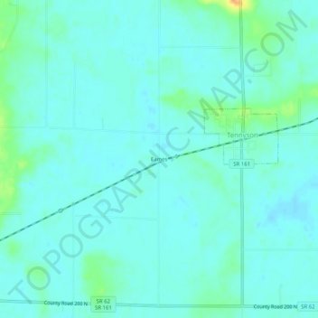
Name: Eames topographic map, elevation, terrain.
Average elevation: 400 ft
Minimum elevation: 377 ft
Maximum elevation: 492 ft
Other topographic maps
Click on a map to view its topography, its elevation and its terrain.
Jockey
Estados Unidos da América > Indiana > Warrick County > Jockey
Jockey, Warrick County, Indiana, 47614, Estados Unidos da América
Average elevation: 453 ft