
西桠 topographic map
Interactive map
Click on the map to display elevation.
About this map
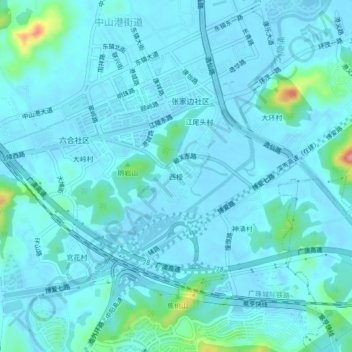
Name: 西桠 topographic map, elevation, terrain.
Location: 西桠, 中山港街道, 中山市, 广东省, 中国 (22.51043 113.44271 22.55043 113.48271)
Average elevation: 49 ft
Minimum elevation: -13 ft
Maximum elevation: 443 ft