
Blackinton topographic map
Interactive map
Click on the map to display elevation.
About this map
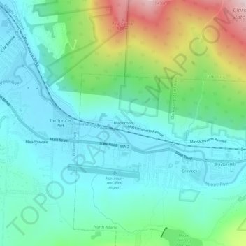
Name: Blackinton topographic map, elevation, terrain.
Average elevation: 945 ft
Minimum elevation: 577 ft
Maximum elevation: 2,034 ft
Other topographic maps
Click on a map to view its topography, its elevation and its terrain.
Natural Bridge State Park
United States > Massachusetts > Berkshire County > North Adams
Natural Bridge State Park, North Adams, Berkshire County, Massachusetts, United States
Average elevation: 1,043 ft