
埌南镇 topographic map
Interactive map
Click on the map to display elevation.
About this map
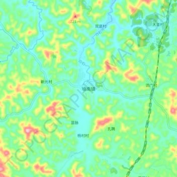
Name: 埌南镇 topographic map, elevation, terrain.
Location: 埌南镇, 藤县, 梧州市, 广西壮族自治区, 543000, 中国 (23.22441 111.05581 23.30441 111.13581)
Average elevation: 361 ft
Minimum elevation: 148 ft
Maximum elevation: 915 ft
Other topographic maps
Click on a map to view its topography, its elevation and its terrain.