
Le Prat topographic map
Interactive map
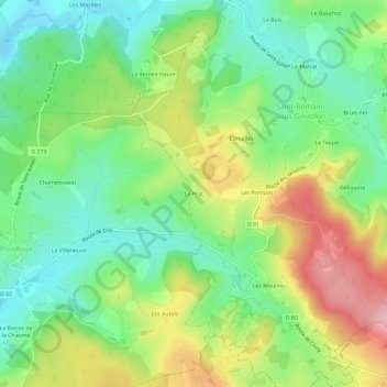
Click on the map to display elevation.
About this map
Name: Le Prat topographic map, elevation, terrain.
Average elevation: 1,155 ft
Minimum elevation: 938 ft
Maximum elevation: 1,493 ft
Other topographic maps
Click on a map to view its topography, its elevation and its terrain.
Les Rompas
France > Bourgogne-Franche-Comté > Saône-et-Loire > Saint-Romain-sous-Gourdon
Les Rompas, Saint-Romain-sous-Gourdon, Autun, Saône-et-Loire, Bourgogne-Franche-Comté, France métropolitaine, 71230, France
Average elevation: 1,184 ft