
La Higuera topographic map
Interactive map
Click on the map to display elevation.
About this map
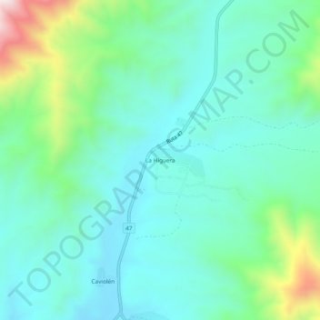
Name: La Higuera topographic map, elevation, terrain.
Location: La Higuera, Provincia de Choapa, Región de Coquimbo, Chile (-31.84547 -71.37330 -31.80547 -71.33330)
Average elevation: 994 ft
Minimum elevation: 509 ft
Maximum elevation: 2,641 ft