
Sreekrishnaswami Temple Pond,Thiruvampady topographic map
Interactive map
Click on the map to display elevation.
About this map
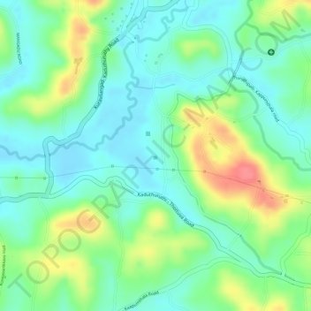
Name: Sreekrishnaswami Temple Pond,Thiruvampady topographic map, elevation, terrain.
Average elevation: 98 ft
Minimum elevation: 10 ft
Maximum elevation: 253 ft
Other topographic maps
Click on a map to view its topography, its elevation and its terrain.
Muvatupuzha
India > Kerala > Vaikom > Velloor
Muvatupuzha, Velloor, Vaikom, Kottayam District, Kerala, India
Average elevation: 46 ft
Thalayolaparambu
Thalayolaparambu, Vaikom, Kottayam, Kerala, 686605, India
Average elevation: 33 ft
Vembanadu
India > Kerala > Vaikom > Kulangara Colony
Vembanadu, Laksham Veed Colony, Kulangara Colony, Vaikom, Kottayam, Kerala, India
Average elevation: 7 ft