
西汉水 topographic map
Interactive map
Click on the map to display elevation.
About this map
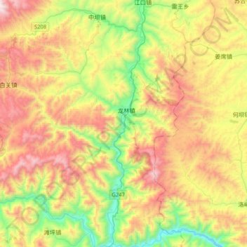
Name: 西汉水 topographic map, elevation, terrain.
Location: 西汉水, 江口镇, 礼县, 陇南市, 甘肃省, 中国 (33.79471 105.05362 34.05758 105.10016)
Average elevation: 5,883 ft
Minimum elevation: 3,593 ft
Maximum elevation: 8,802 ft