
Cuttyhunk Island topographic map
Interactive map
Click on the map to display elevation.
About this map
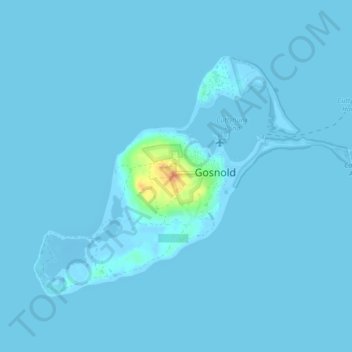
Name: Cuttyhunk Island topographic map, elevation, terrain.
Average elevation: 3 ft
Minimum elevation: -33 ft
Maximum elevation: 118 ft
Other topographic maps
Click on a map to view its topography, its elevation and its terrain.
Elizabeth Islands
United States > Massachusetts > Dukes County > Gosnold
Elizabeth Islands, Gosnold, Dukes County, Massachusetts, United States
Average elevation: 26 ft