
Lagan topographic map
Interactive map
Click on the map to display elevation.
About this map
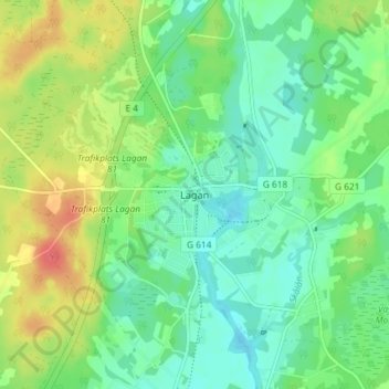
Name: Lagan topographic map, elevation, terrain.
Location: Lagan, Ljungby kommun, Kronoberg County, 341 51, Sweden (56.89746 13.96947 56.93746 14.00947)
Average elevation: 499 ft
Minimum elevation: 440 ft
Maximum elevation: 604 ft
Other topographic maps
Click on a map to view its topography, its elevation and its terrain.
Västerbotorp
Västerbotorp, Tingsryds kommun, Kronoberg County, Sweden
Average elevation: 499 ft