
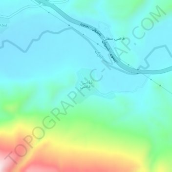
Ghazi topographic map
Interactive map
Click on the map to display elevation.
About this map
Name: Ghazi topographic map, elevation, terrain.
Average elevation: 3,386 ft
Minimum elevation: 3,064 ft
Maximum elevation: 4,478 ft
Other topographic maps
Click on a map to view its topography, its elevation and its terrain.
Bojnord
Iran > North Khorasan Province > Bojnurd County
Bojnord, بخش مرکزی, Bojnurd County, North Khorasan Province, Iran
Average elevation: 3,576 ft