
Town Creek topographic map
Interactive map
Click on the map to display elevation.
About this map
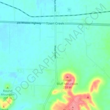
Name: Town Creek topographic map, elevation, terrain.
Location: Town Creek, Lawrence County, Alabama, United States (34.64066 -87.42282 34.69201 -87.38893)
Average elevation: 604 ft
Minimum elevation: 545 ft
Maximum elevation: 850 ft
Other topographic maps
Click on a map to view its topography, its elevation and its terrain.
Red Bank
United States > Alabama > Lawrence County
Red Bank, Lawrence County, Alabama, United States
Average elevation: 568 ft
Wren Mountain
United States > Alabama > Lawrence County
Wren Mountain, Lawrence County, Alabama, United States
Average elevation: 755 ft
Spring Creek
United States > Alabama > Lawrence County
Spring Creek, Lawrence County, Alabama, United States
Average elevation: 581 ft
Moulton
United States > Alabama > Lawrence County
Moulton, Lawrence County, Alabama, 35650, United States
Average elevation: 650 ft