
睹碑村 topographic map
Interactive map
Click on the map to display elevation.
About this map
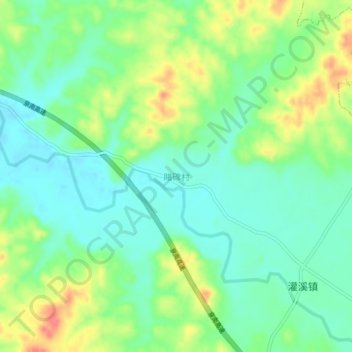
Name: 睹碑村 topographic map, elevation, terrain.
Location: 睹碑村, Ji’an, Jiangxi, China (26.74653 115.08262 26.78653 115.12262)
Average elevation: 289 ft
Minimum elevation: 213 ft
Maximum elevation: 417 ft
Other topographic maps
Click on a map to view its topography, its elevation and its terrain.