
永平镇 topographic map
Interactive map
Click on the map to display elevation.
About this map
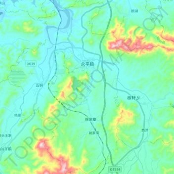
Name: 永平镇 topographic map, elevation, terrain.
Location: 永平镇, 铅山县, 上饶市, 江西省, 中国 (28.11867 117.69280 28.27358 117.80913)
Average elevation: 538 ft
Minimum elevation: 194 ft
Maximum elevation: 2,123 ft
Other topographic maps
Click on a map to view its topography, its elevation and its terrain.