
Bithoor topographic map
Interactive map
Click on the map to display elevation.
About this map
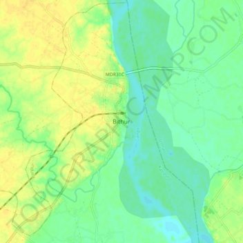
Name: Bithoor topographic map, elevation, terrain.
Location: Bithoor, Kanpur, Kanpur Nagar District, Uttar Pradesh, India (26.56081 80.23223 26.64081 80.31223)
Average elevation: 397 ft
Minimum elevation: 361 ft
Maximum elevation: 436 ft