
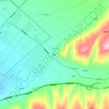
安定 topographic map
Interactive map
Click on the map to display elevation.
About this map
Name: 安定 topographic map, elevation, terrain.
Location: 安定, 安定村, 互助土族自治县, 海东市, 青海省, 中国 (36.80341 101.96731 36.84341 102.00731)
Average elevation: 8,435 ft
Minimum elevation: 8,176 ft
Maximum elevation: 9,045 ft