
元和街道 topographic map
Interactive map
Click on the map to display elevation.
About this map
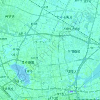
Name: 元和街道 topographic map, elevation, terrain.
Location: 元和街道, 相城区, 苏州市, 江苏省, 中国 (31.33785 120.58089 31.45498 120.69125)
Average elevation: 13 ft
Minimum elevation: -154 ft
Maximum elevation: 82 ft
Other topographic maps
Click on a map to view its topography, its elevation and its terrain.