
Village of Manchester topographic map
Interactive map
Click on the map to display elevation.
About this map
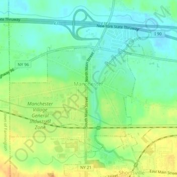
Name: Village of Manchester topographic map, elevation, terrain.
Average elevation: 594 ft
Minimum elevation: 548 ft
Maximum elevation: 650 ft
Other topographic maps
Click on a map to view its topography, its elevation and its terrain.
Hill Cumorah
United States > New York > Ontario County > Town of Manchester
Hill Cumorah, Town of Manchester, Ontario County, New York, 14504, United States
Average elevation: 597 ft
Port Gibson
United States > New York > Ontario County > Town of Manchester
Port Gibson, Town of Manchester, Ontario County, New York, 14537, United States
Average elevation: 512 ft