
小寺上村 topographic map
Interactive map
Click on the map to display elevation.
About this map
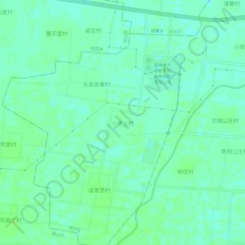
Name: 小寺上村 topographic map, elevation, terrain.
Location: 小寺上村, 肥乡区, 河北省, 057500, 中国 (36.54129 114.62148 36.58129 114.66148)
Average elevation: 177 ft
Minimum elevation: 161 ft
Maximum elevation: 187 ft
Other topographic maps
Click on a map to view its topography, its elevation and its terrain.