
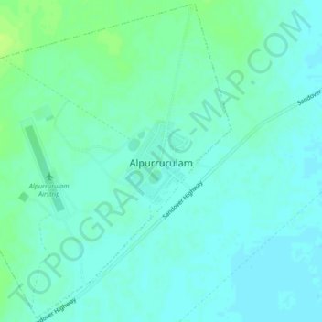
Alpurrurulam topographic map
Interactive map
Click on the map to display elevation.
About this map
Name: Alpurrurulam topographic map, elevation, terrain.
Location: Alpurrurulam, Barkly Region, Northern Territory, Australia (-21.00296 137.81550 -20.96498 137.85702)
Average elevation: 659 ft
Minimum elevation: 643 ft
Maximum elevation: 686 ft
Other topographic maps
Click on a map to view its topography, its elevation and its terrain.
Tennant Creek
Tennant Creek, Barkly Region, Northern Territory, Australia
Average elevation: 1,201 ft
Barrow Creek
Australia > Barkly Region > Barrow Creek
Barrow Creek, Davenport, Barkly Region, Northern Territory, Australia
Average elevation: 1,460 ft