
人民公园 topographic map
Interactive map
Click on the map to display elevation.
About this map
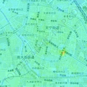
Name: 人民公园 topographic map, elevation, terrain.
Location: 人民公园, 杨柳巷社区, 南大街街道, 钟楼区, 常州市, 江苏省, 213000, 中国 (31.77780 119.95141 31.78044 119.95375)
Average elevation: 26 ft
Minimum elevation: 10 ft
Maximum elevation: 72 ft