
中山公园 topographic map
Interactive map
Click on the map to display elevation.
About this map
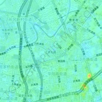
Name: 中山公园 topographic map, elevation, terrain.
Location: 中山公园, 华阳路街道, 长宁区, 中国 (31.22100 121.41054 31.22563 121.41760)
Average elevation: 26 ft
Minimum elevation: 3 ft
Maximum elevation: 98 ft
Other topographic maps
Click on a map to view its topography, its elevation and its terrain.